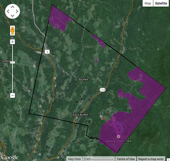
Burke Natural Resources Overlay District
The creation of the Burke Natural Resources Overlay District stemmed from the purchase of a ski area in Burke, VT. This purchase caused great concern for the scenic beauty of Burke's mountains due to the lack of zoning regulations to protect the these mountain tops from heavy development. In order to protect the scenic beauty of Burke and to conserve its mountain tops, the Scenic and Conservation Overlay district was created.
The overlay district was created through many hearings with the planning commission. Originally, the planning commission began with an overlay district that stated that development would be limited in all lands above 1500 ft. However, since the original draft, there have been many modifications that address fragmentation and wildlife habitat as well. The current draft contains regulations that limit the development in Burke above 1500 feet to only structures with a footprint of less than 800 square ft.
Additionally, the overlay district contains regulations about maintaining existing tree and vegetative cover, preventing development next to scenic roads, maintaining wooded buffers, preventing wildlife habitat fragmentation and the destruction of natural resources, and preventing erosion by restricting the removal of native plants. Although the Burke Scenic and Conservation Overlay District has been put into place, regulations are still occasionally amended in order to meet the ultimate goal of conserving Burke's mountains.
Burke
Bylaws, Forest Land, Land Protection, water, wetland, wildlife
The Burke Scenic and Conservation Overlay district was able to limit development on the town's mountain tops, protecting them from heavy development and habitat fragmentation through the implementation of these new considerations.
FrontPorch
Northeastern Vermont Development Association (NVDA)
Vermont Fish & Wildlife Department
The driving factor of the creation of the overlay district was the purchase of the ski area within the town of Burke. This purchase caused an uproar in the community and provided the motivation necessary to conserve the town's mountains. Additionally, the lack of sufficient zoning laws to support the rapid growth of the town provided a platform to create the new considerations.
The main challenge for the creation of the Scenic and Conservation Overlay District was the lack of existing data on the land. Additionally, it was difficult to get many landowners on board due to the belief that paying taxes on the land gives you the right to utilize it in any way that you wish.